Argentina — Wine Region Guide
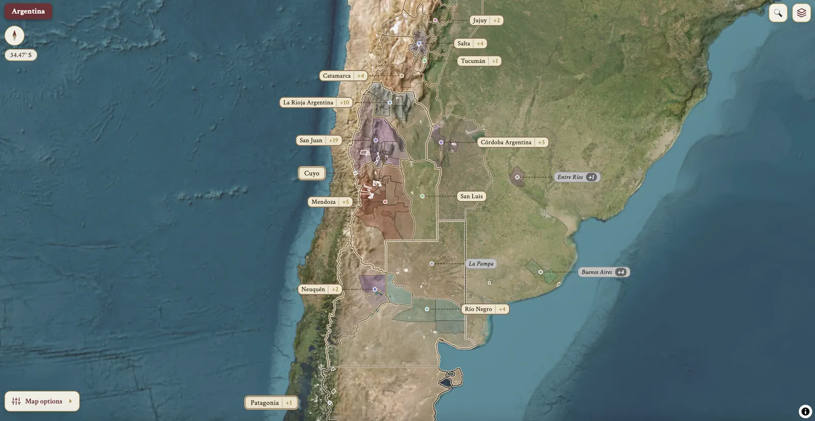
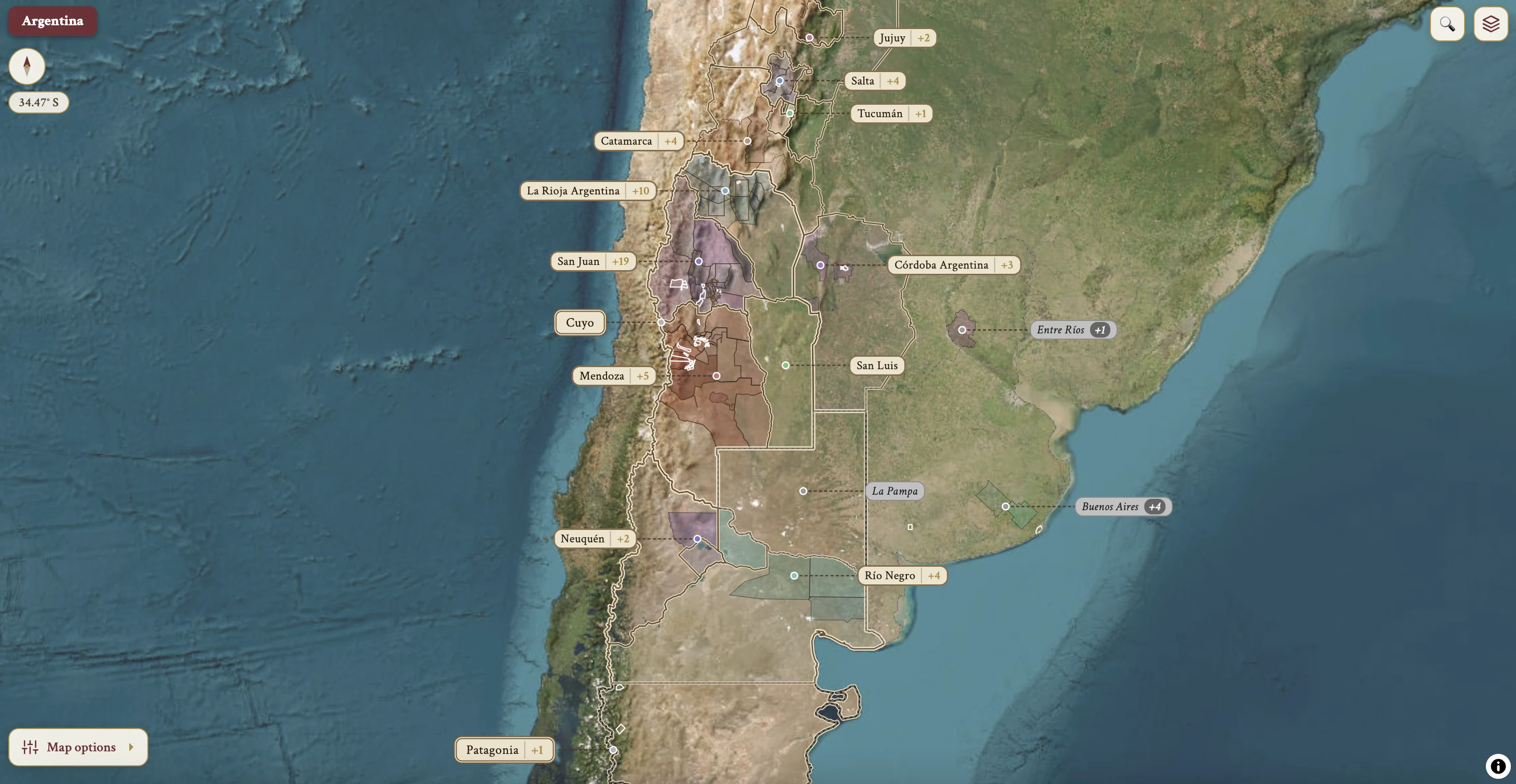
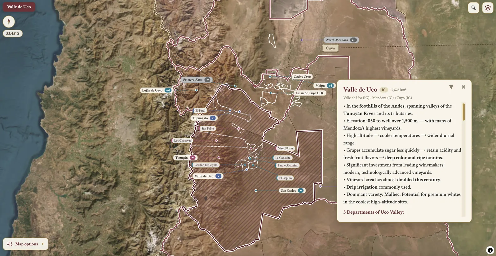
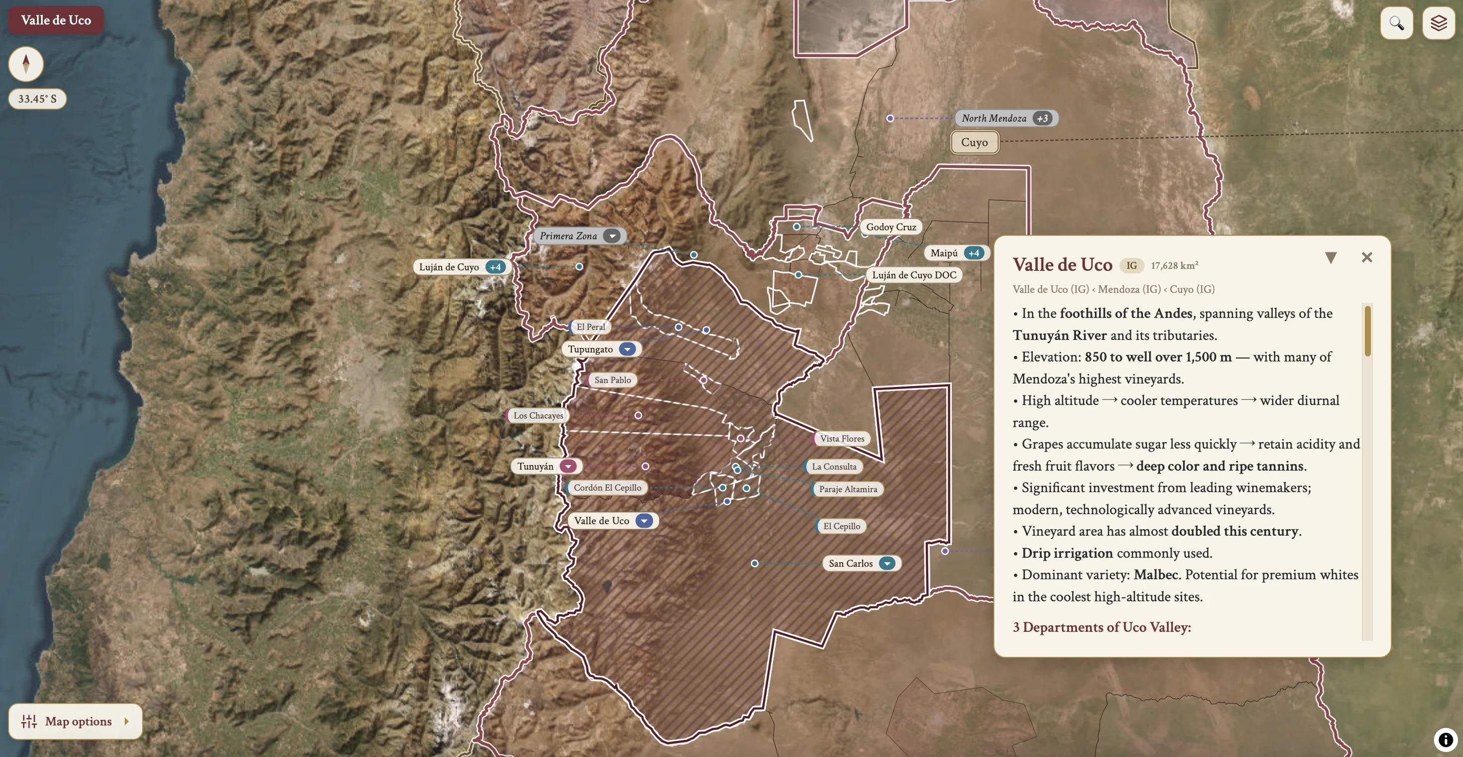
The Argentina maps from Your Own Wine Encyclopedia — every name tag opens a study card. Below, the chapter's own geography, climate and geology notes.
Maps on this page
4 screens from the interactive map
On the map
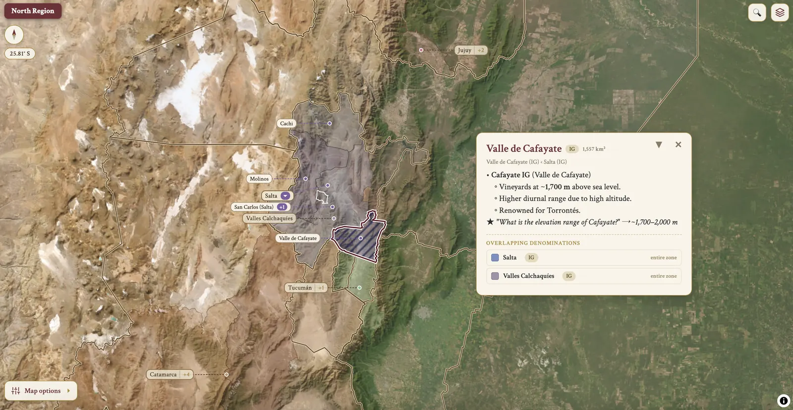
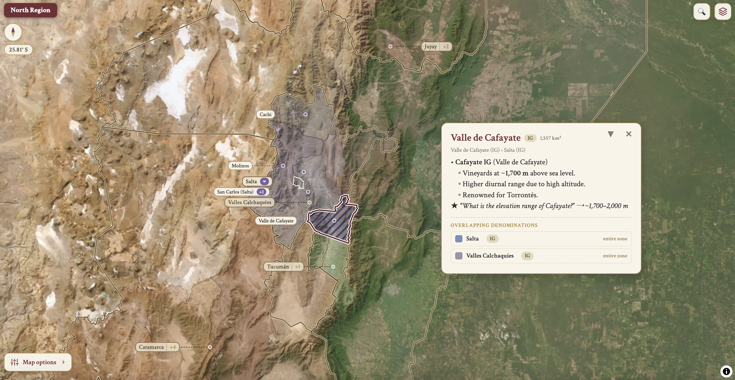
North Region · Salta · Jujuy · Tucumán · +8 more
Interactive map
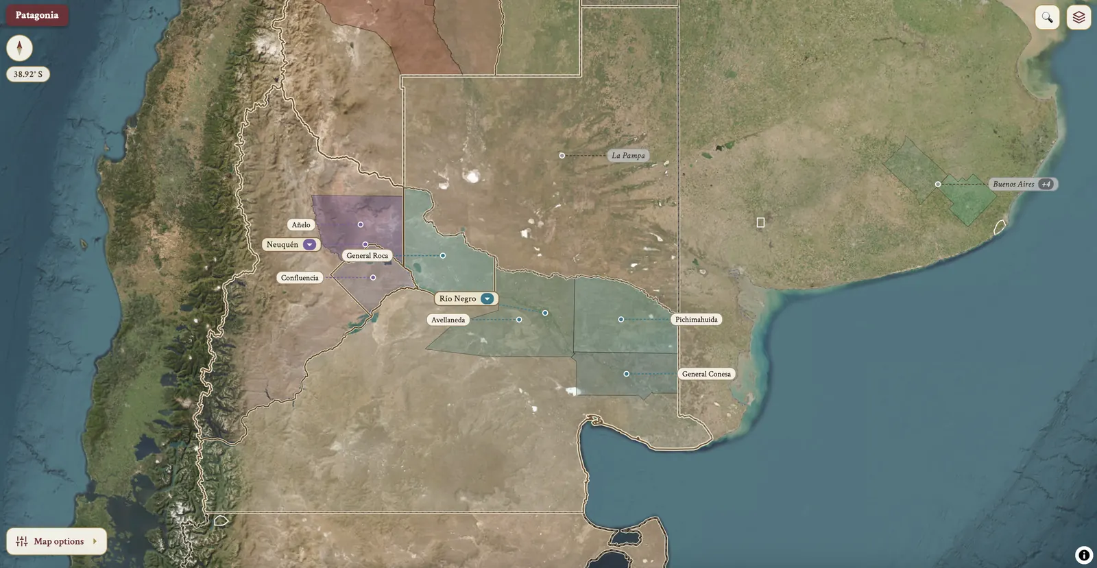
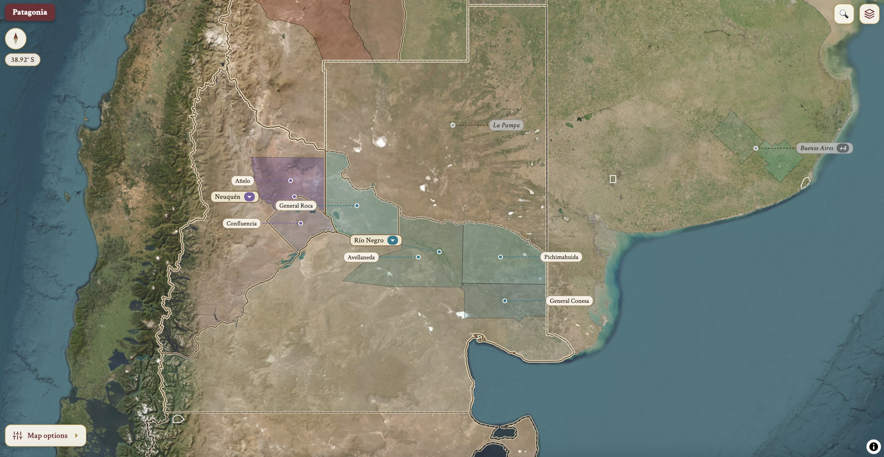
Terrain & satellite · every name tag opens a study card
Access
Included with a subscription
From the encyclopedia — geography, climate & geology
Topography & Geography
Geographic Range
- Vineyards stretch over 1,500 km from Salta (north) to Río Negro (south).
- Latitude: between approximately 24°S and 38–39°S.
- Mainly in the foothills of the Andes in the west, except for Patagonia.
- Located in the western sector of the country, in the plain and foothills near the Andes.
- Average national vineyard elevation: approximately 900 m above sea level.
Altitude
- Many vineyards above 1,000 m.
- Lowest around 500 m.
- Highest approximately 3,300 m (Salta).
- The world's southernmost vineyards are also in Argentina (Otronia, Sarmiento — see Patagonia).
On the map
- North Region
- Salta
- Jujuy
- Tucumán
- Catamarca
- La Rioja Argentina
- Cuyo
- San Juan
- Mendoza
- Valle de Uco
- Luján de Cuyo · Maipú
- Patagonia