Baden — Wine Region Guide
The Baden maps from Your Own Wine Encyclopedia — every name tag opens a study card. Below, the chapter's own geography, climate and geology notes.
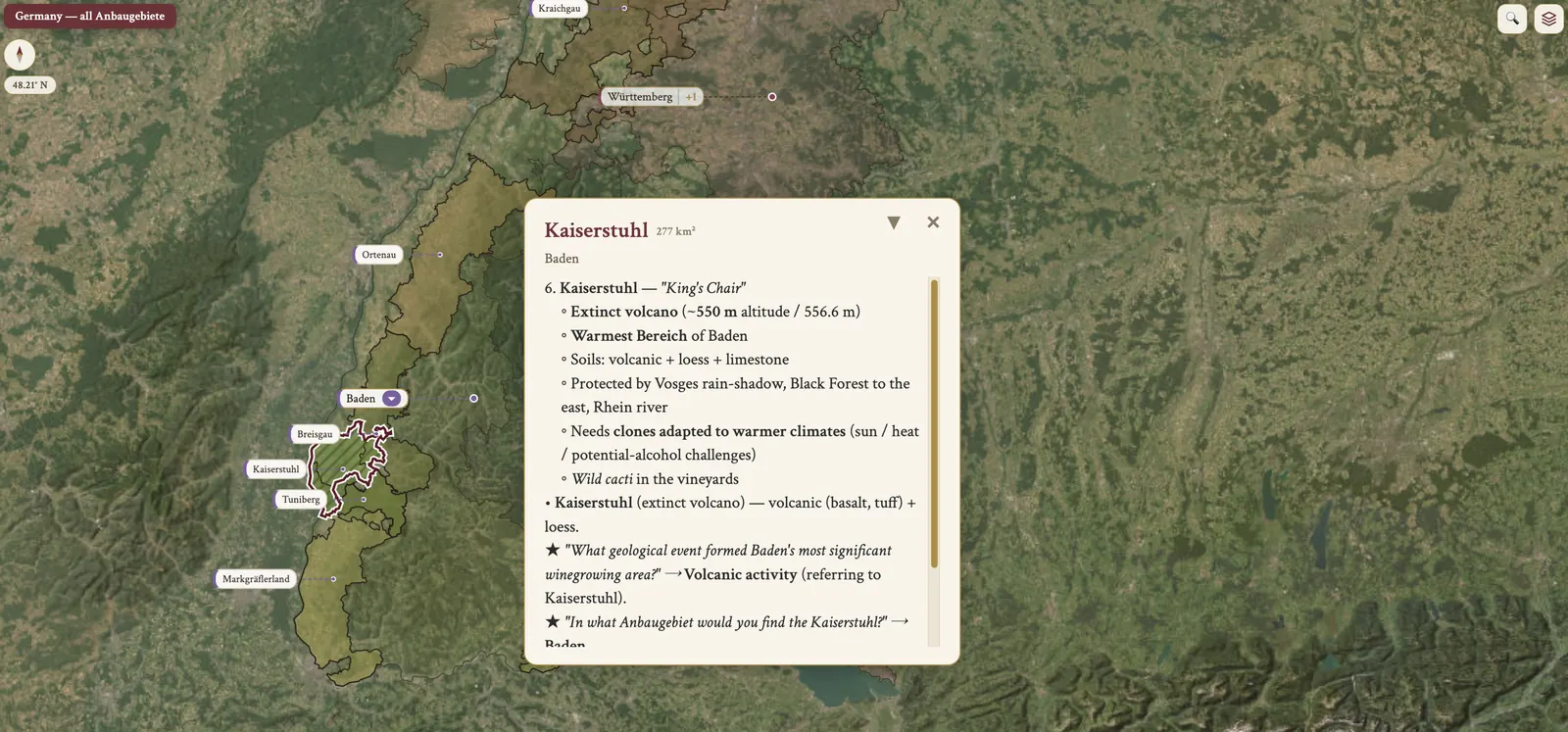
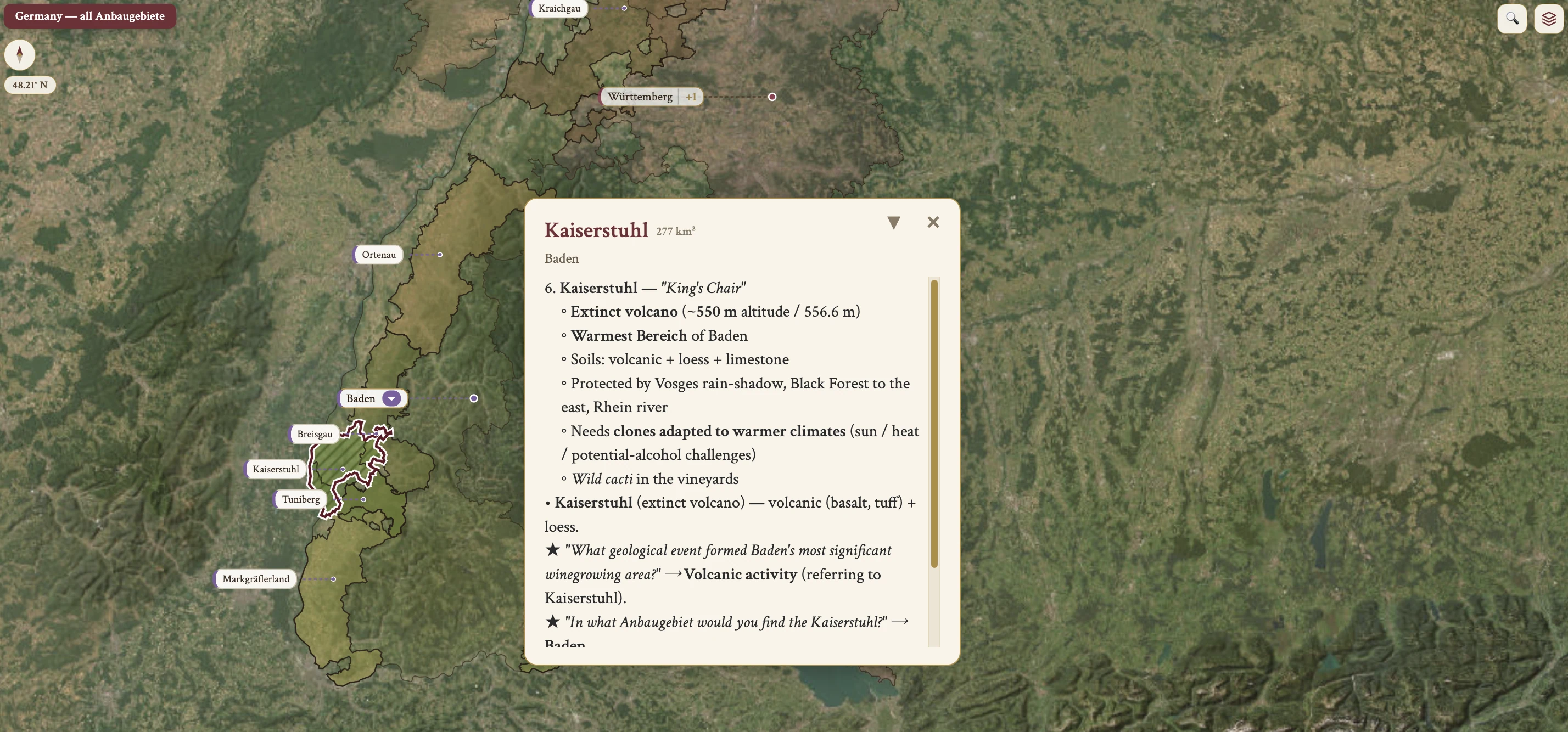
From the encyclopedia
Overview
Baden is the warmest, driest and sunniest wine region in Germany, bordering Switzerland in the south and lying east of Pfalz. The main vineyard runs from around Heidelberg south to the Swiss border, on the east side of the Rhine, opposite Alsace, and also east of Bodensee (Lake Constance). Baden and Württemberg are the two larger wine regions of southern Germany.
There are multiple Bereiche — 9 in total — spanning about 400 km, "from the Tauber to the Lake": the Tauber river in the north to Bodensee in the south. Each has its own soils and microclimates, which gives a full range of styles within one Anbaugebiet.
Baden is best known for Spätburgunder, its 1st planting, and the top examples are world-class. It is one of the top 5 producing Anbaugebiete.
History
The Badischer Winzerkeller is the country's largest winery and the flagship of the co-op model. Bernhard Huber, at Malterdingen in Breisgau, is the modern small-estate Pinot Noir reference.
Climate
Baden has the warmest, driest and sunniest climate of the German regions, and it borders Switzerland. It sits in the rain-shadow of the Vosges, Alsace lying opposite on the west bank of the Rhine. It is also the sole German region in EU Zone B for enrichment, where the maximum is 2%, against Zone A's 3% elsewhere.
Topography & Geography
Baden is a long strip running north to south, about 400 km "from the Tauber to the Lake" — the northern end at the Tauber river, the southern end at Bodensee, Lake Constance. It lies east of Pfalz, on the east bank of the Rhine opposite Alsace, with the Black Forest, the Schwarzwald, to the east of Baden.
The Bodensee vineyards sit at 400–560 m a.s.l., one of the highest wine-growing areas in Germany. The major water sources are the Rhein river, the Tauber — a Rhine tributary in the north — and Bodensee, Lake Constance, on the southern border with Switzerland.
Soil
Kaiserstuhl is an extinct volcano, and its soils are volcanic — basalt and tuff — with loess. Tuniberg, Breisgau and Tauberfranken are calcareous limestone, Muschelkalk or Moselkalk. Ortenau has gneiss with limestone and loess, Markgräflerland limestone and loess, and Bodensee glacial moraine.
Grape Varieties
White grapes are 61% of plantings. By hectares, Müller-Thurgau is the most planted of them at 2,559 ha, used for high-volume inexpensive blends and the main grape of Tauberfranken and Bodensee. Grauburgunder follows with 1,896 ha and Weissburgunder with 1,373 ha — Baden and Pfalz have the most plantings of Weissburgunder of any Anbaugebiete. Riesling has 1,119 ha, in a fuller style, and Gutedel (Chasselas) 1,117 ha, with Markgräflerland as its heartland. Chardonnay is also rising in reputation, often with oak.
In red, Spätburgunder is the most planted variety overall, and it is often oak-aged. Ruländer is the sweeter style of Grauburgunder, Pinot Gris, and is often from Baden. Badisch Rotgold, a Rotling, is a minimum 51% Grauburgunder blended with Spätburgunder, with the composition declared on the label.
Viticulture
Engelsfelsen, in Bühlertal, is the steepest vineyard in Germany at 75°. Monkey 47 gin is produced in the Schwarzwald, the Black Forest, within Baden.
On the map
- Baden
- Württemberg