Chile — Wine Region Guide
The Chile maps from Your Own Wine Encyclopedia — every name tag opens a study card. Below, the chapter's own geography, climate and geology notes.
Maps on this page
4 screens from the interactive map
Interactive map
Terrain & satellite · every name tag opens a study card
Access
Included with a subscription
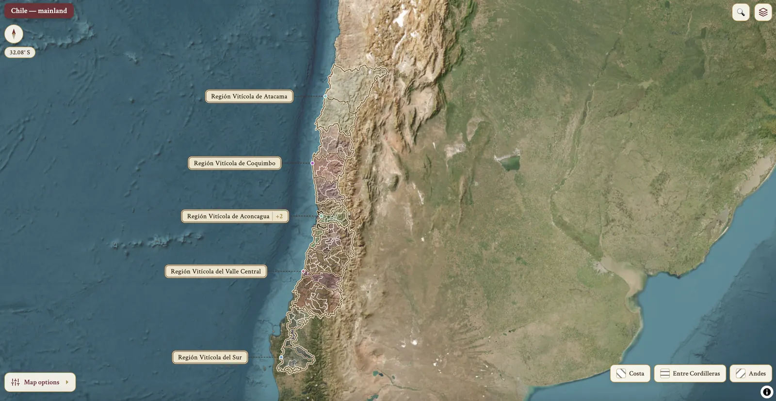
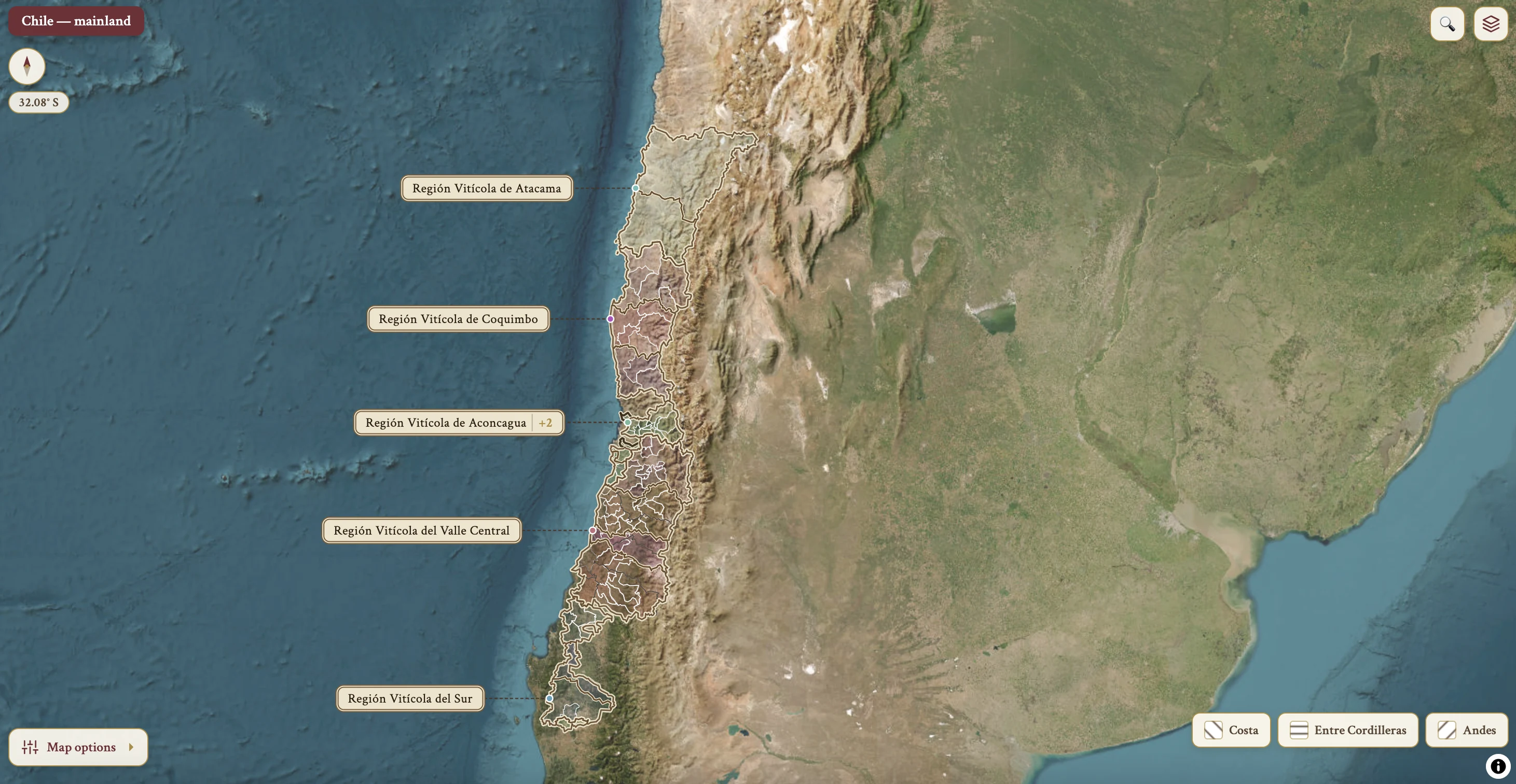
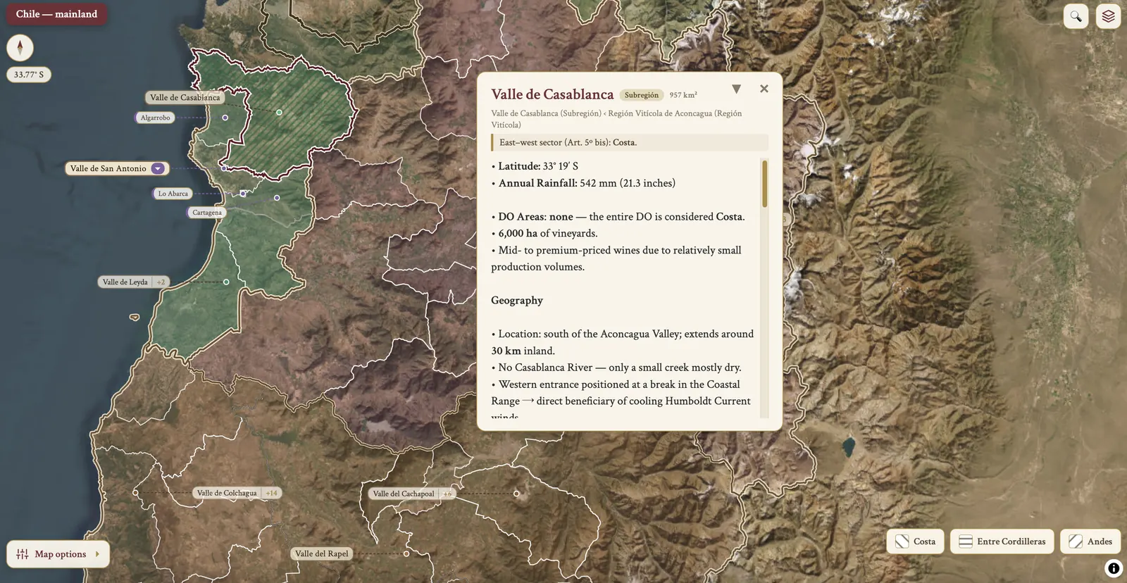
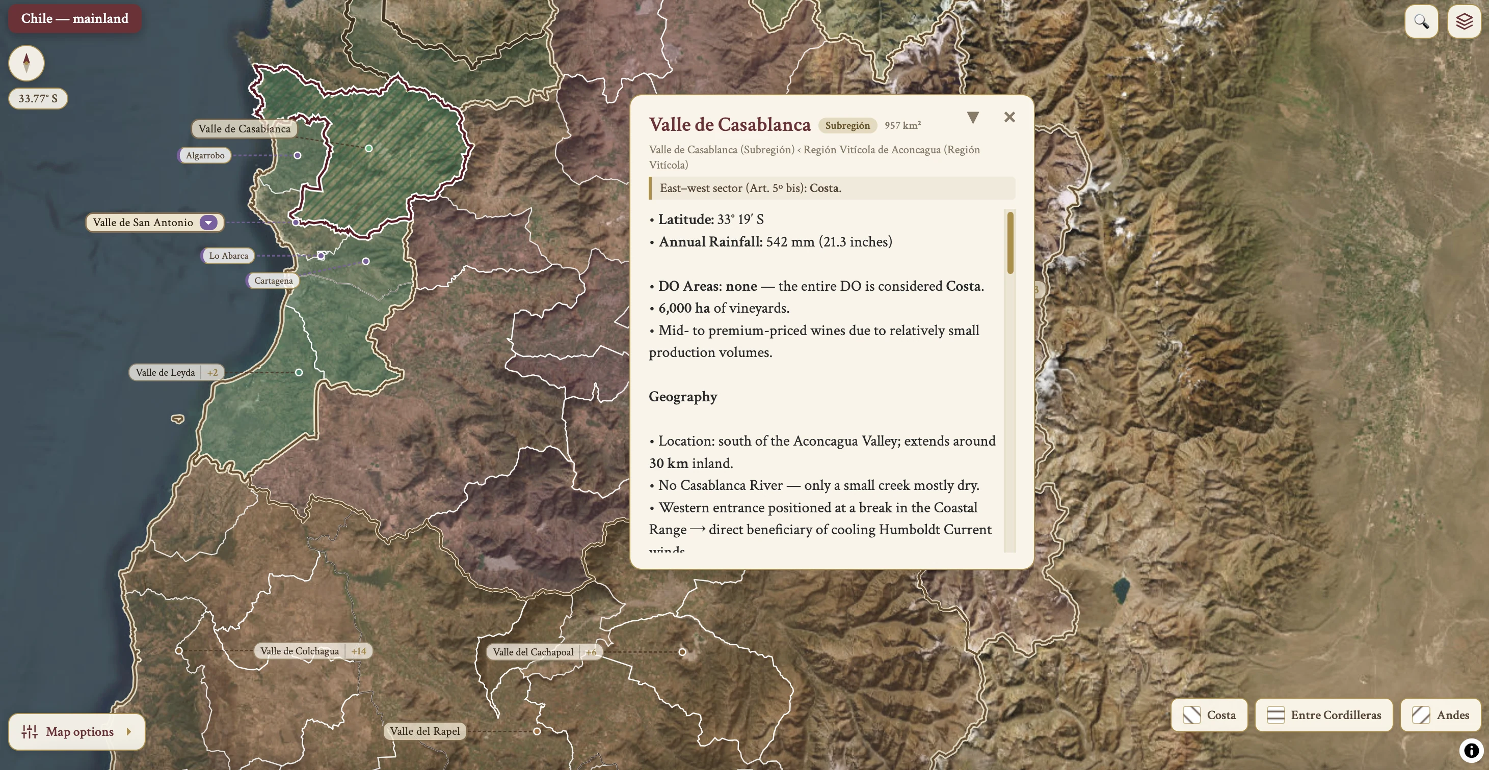
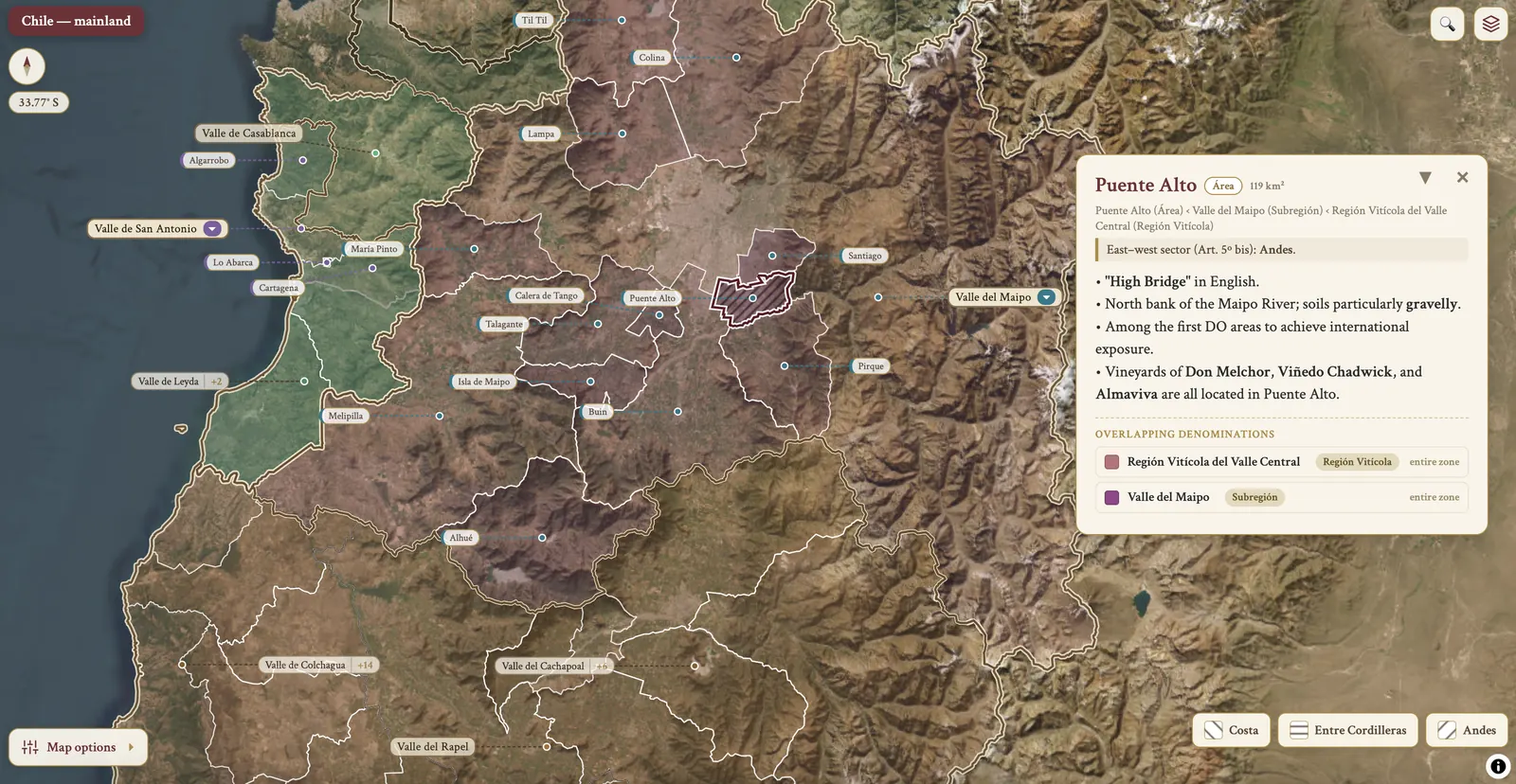
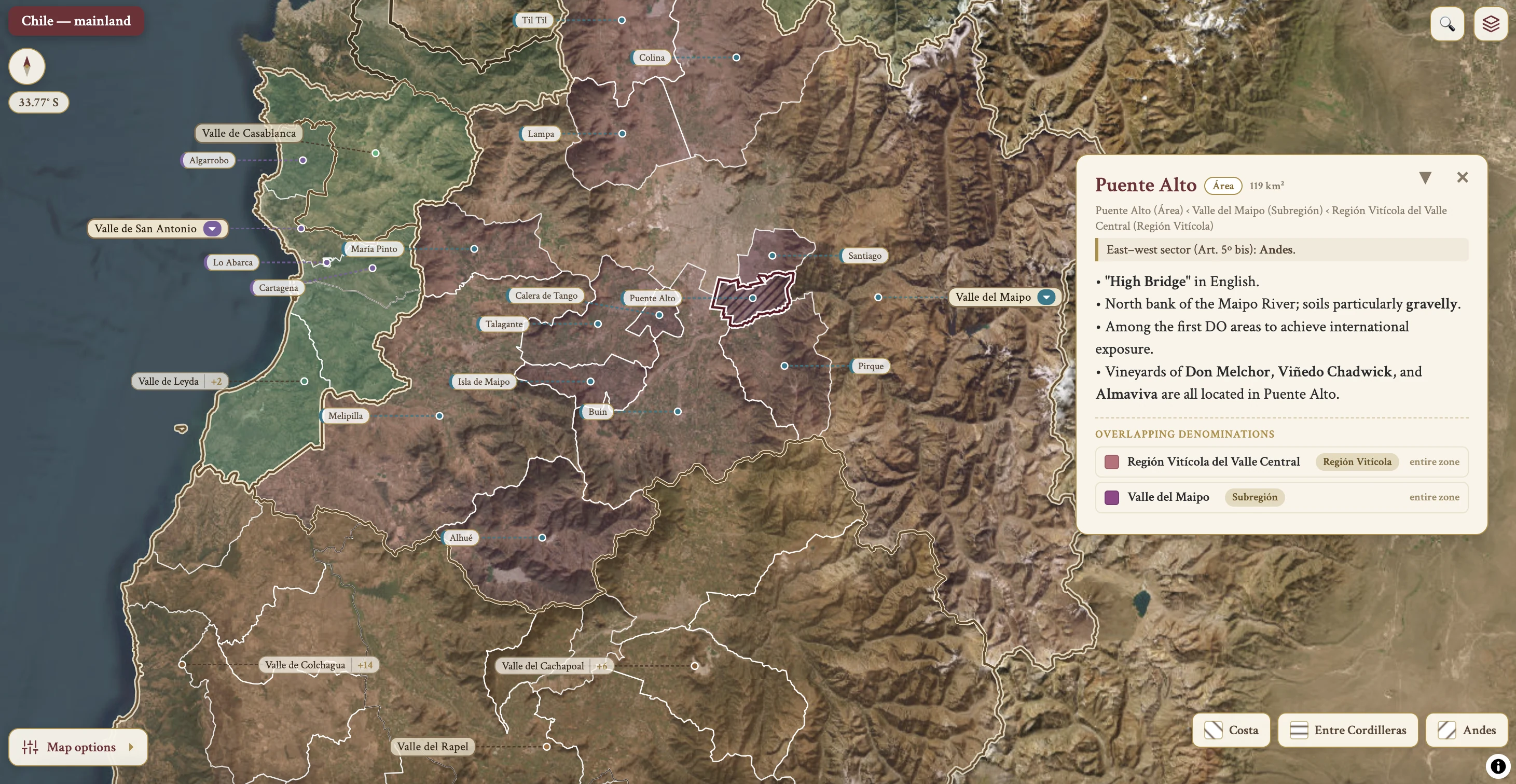
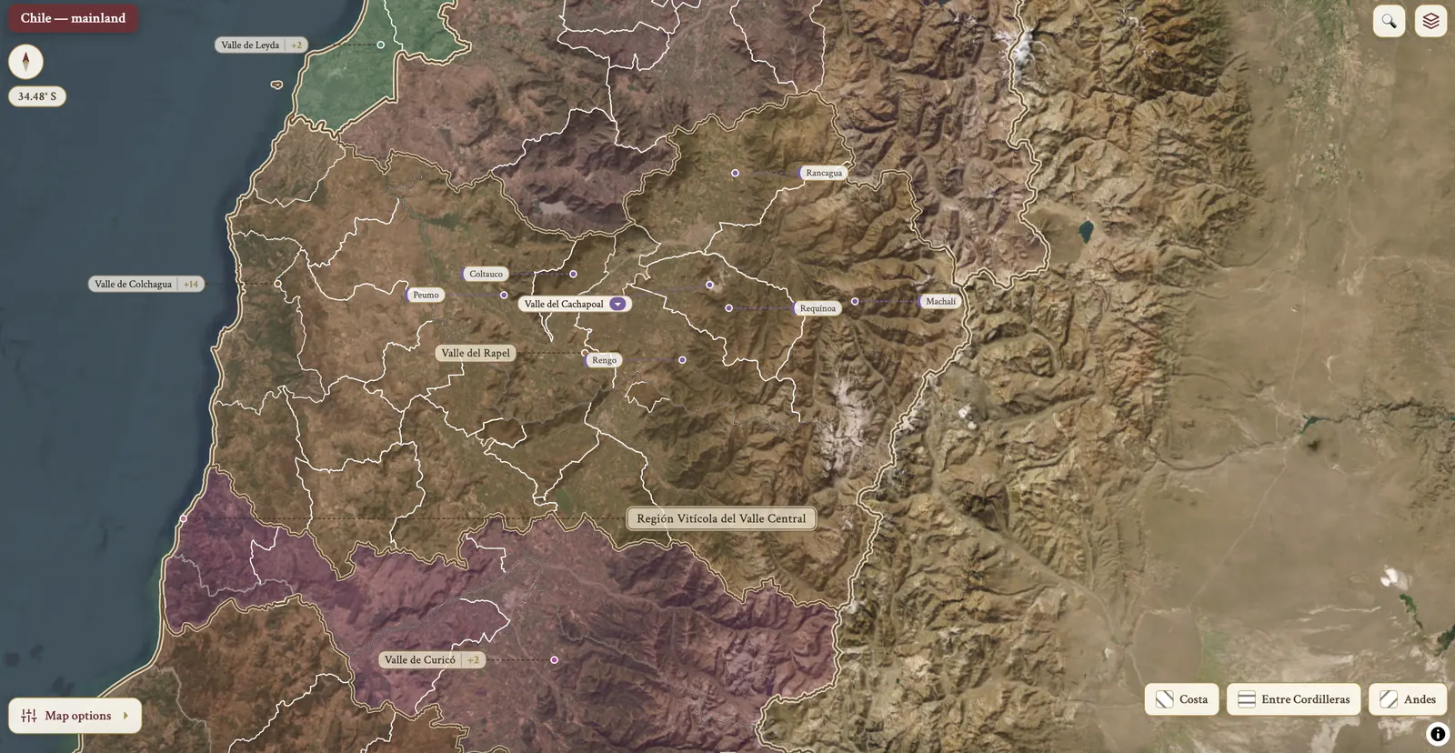
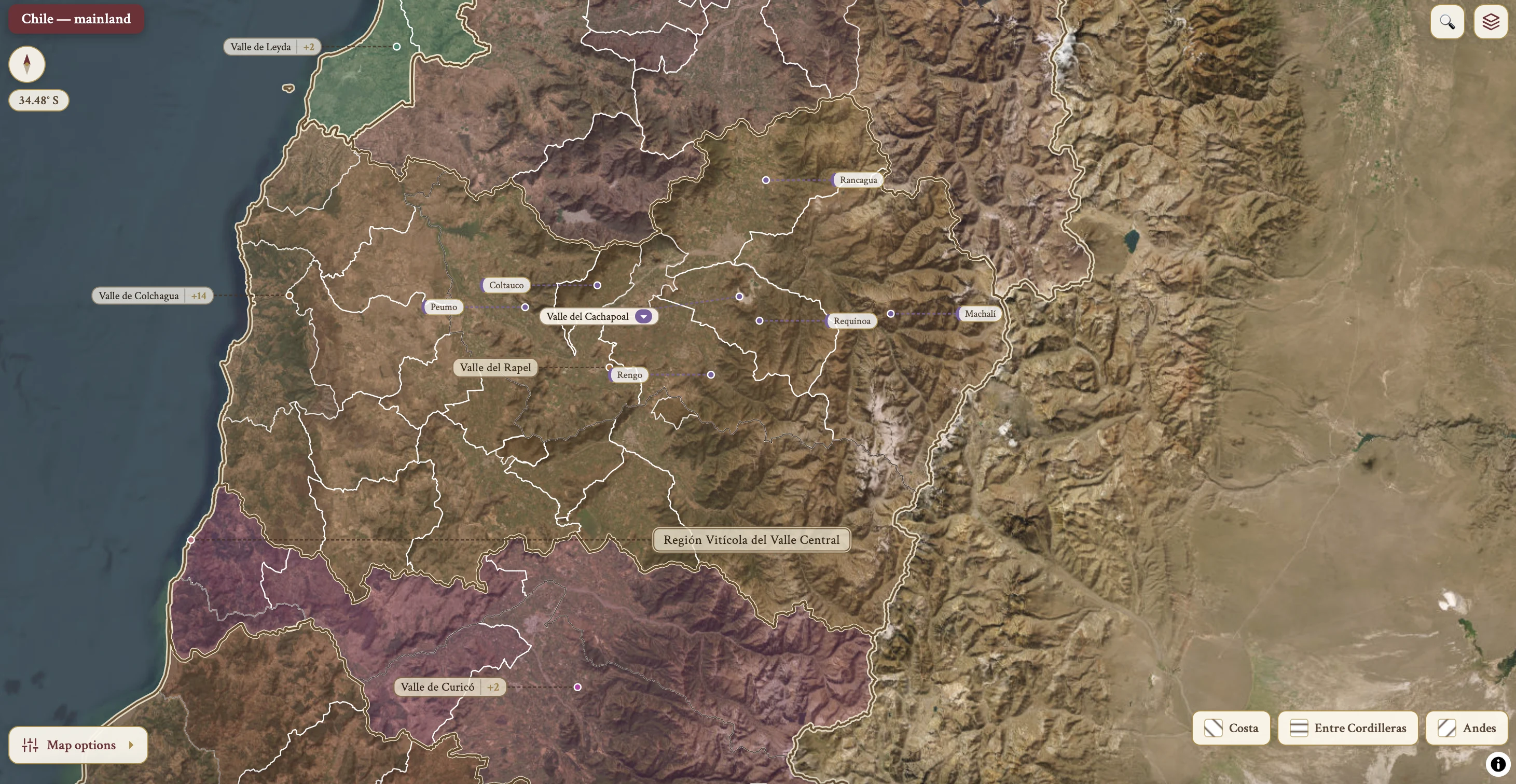
From the encyclopedia — geography, climate & geology
Topography & Geography
National Geography
- Narrowest and second longest country in the world.
- Extends around 4,300 km from north to south; average width ~175 km.
- Natural boundaries: Atacama Desert (north), Andes Mountains (east), Pacific Ocean (west), Glaciers of Patagonia (south).
- Main vineyard area: ~1,000 km length, rarely more than 100 km width.
- Latitude: 30°–38°S — from Elqui Valley (30°S) in the north to Malleco Valley (38°S) in the south.
- Recent expansions: new vineyards in the Atacama Desert, Cautín, Osorno.
East–West Variation
- Many vineyards planted in east–west running valleys.
- Pacific Ocean and Andes provide cooling influences, extending the growing season, preserving grape acidity and aromas.
- Coastal Range: low mountains (300–800 m) form a barrier against ocean influences.
- Vineyards west of the Coastal Range are fully exposed to ocean influences.
- Central Valley (south of Santiago): coastal and Andes ranges split to form a large, dry, warm, sunny central valley — ideal for high-volume, inexpensive wines.
- North of Santiago: coastal and Andes ranges merge — accessibility is more difficult.
- Planting on coastal slopes or valley hills provides cooling through altitude or aspect.