Franken — Wine Region Guide
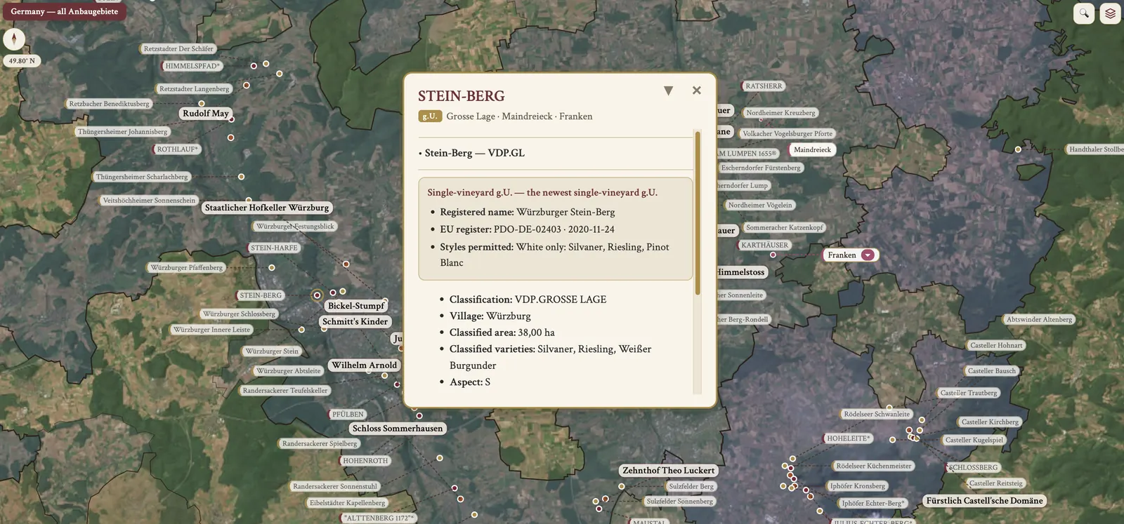
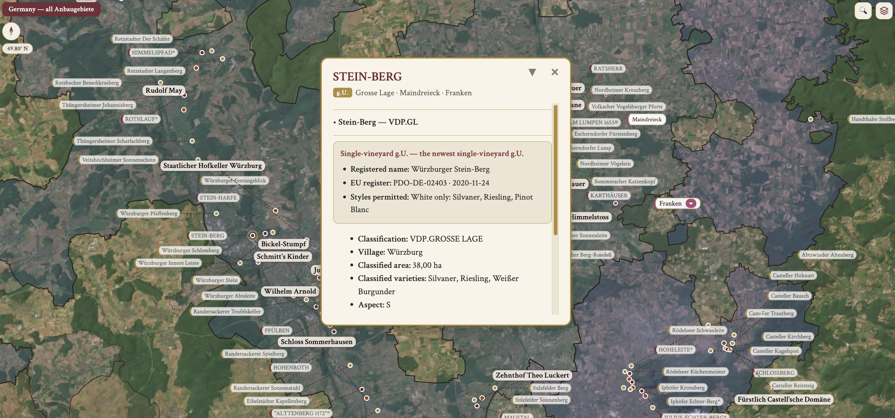
The Franken maps from Your Own Wine Encyclopedia — every name tag opens a study card. Below, the chapter's own geography, climate and geology notes.
From the encyclopedia
Overview
Franken lies on the south-facing slopes of the River Main and its tributaries, and the W-shaped bends of the Main form the three Bereiche. White grapes are 82% of plantings, with Müller-Thurgau the main variety and Silvaner the regional signature.
Red is Spätburgunder in the west, in Mainviereck, on steep red-sandstone terraces, and of high quality. Domestic consumption dominates; exports are small but gaining recognition.
History
The first documented Eiswein was made in 1794, from Franken. Würzburg holds 3 great charitable co-ops with historic vast holdings: Juliusspital (church), Bürgerspital (civic) and Staatlicher Hofkeller (Bavarian state).
Bürgstadter Berg, in Mainviereck, is the first German single-vineyard PDO (gU, 2017): EU protection was conferred in 2017 and the application published in 2016. Würzburger Stein-Berg is the newest single-vineyard PDO (gU, 2020), white only — Silvaner, Riesling and Pinot Blanc. Steinwein historically meant all Frankish wine, and specifically it refers to Würzburger Stein, Goethe's favourite.
Climate
Franken has the most continental climate of the major Anbaugebiete, lying further east. That gives warm summers but a short growing season, which suits early-ripening Silvaner, along with cooler autumns, harsh winters and spring frost risk. The rain shadows are the Rhön to the north, the Steigerwald to the east and the Spessart to the west.
Topography & Geography
Three Bereiche are carved by the W-shaped bends of the Main, and the names refer to the river shape: Maindreieck, the "3-sided Main" or triangle; Mainviereck, the "4-sided Main" or square; and Steigerwald, the eastern forest area.
Maindreieck produces ~3/4 of Franken's wines and is centred on Würzburg. Mainviereck is the westernmost zone, the Aschaffenburg and Miltenberg area; it is closer to Baden, which gives a relatively warm climate, and so — rare in Franken — red wine plays an important role here, in Spätburgunder. The slopes are south-facing, and the highest-quality sites are the less frost-prone S and SE faces.
Soil
Maindreieck is Muschelkalk, a shell-limestone that is Kimmeridgean-like, with high-quality dry Silvaner from Würzburger Stein and Escherndorfer Lump. Mainviereck is Buntsandstein, red sandstone, with Spätburgunder from Centgrafenberg. Steigerwald is Keuper and Gipskeuper, a gypsum-marl, with the highest-quality Silvaner from Julius-Echter-Berg in Iphofen.
Grape Varieties
Silvaner is the regional signature. It buds early, which brings frost risk, and ripens early, reaching full ripeness in the short autumn. On the less frost-prone S/SE slopes with chalky soils it gives high-quality, full-bodied dry wines with floral and wet-stone aromas, around Würzburg. Its plantings have fallen from historic highs but stabilised. In Kabinett Oechsle, Franken's 78° for Silvaner is the highest in Germany, against Rheingau at 75° and others at 73°.
Müller-Thurgau is the main variety and ripens easily in the short season. Spätburgunder is grown in Mainviereck, on steep red-sandstone terraces, and the high-quality reference is Rudolf Fürst at Bürgstadt, in Centgrafenberg. Rieslaner is a Riesling × Silvaner cross that makes dessert wines, a Franken specialty. Franken is too cool to reliably ripen Riesling, so Silvaner dominates the quality tier. The VDP Grosse Lage varieties in Franken are Silvaner and Riesling, plus Spätburgunder in Mainviereck.
Winemaking Terms
The region's winemaking terms begin with the Bocksbeutel, the traditional flat, round-shouldered bottle with a short neck, also used in small parts of Baden's Tauberfranken. The Stück is 1,200 L, also used in Rheingau and Pfalz.